Wisconsin River
By: Tanya Rothe
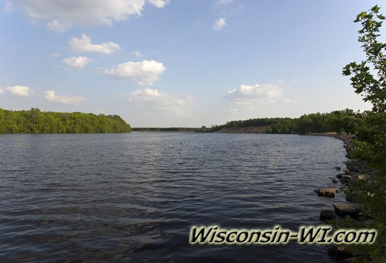
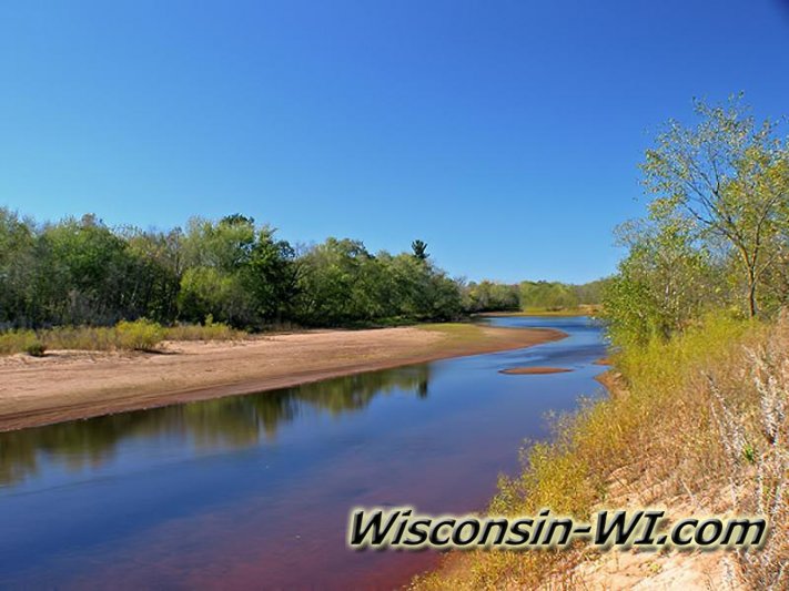
Wisconsin is home to the 430 mile long Wisconsin River. The Wisconsin River is known for its amazing historical background. Many years ago before it turned into the river, it was used throughout the state as a road for transportation from one location to another. The river begins at the Northeast corner of the state and ends at the Mississippi River. When fishing in the river you get the best of both worlds. Not only do you get to bask in the glory of prime Wisconsin fish, but you get to enjoy the freshness of the Mississippi creatures. The Wisconsin River flows through Adams County into Wisconsin Dells which is filled with fun attractions and historical landmarks. An interesting fact is that around 14,000 years ago, the ice that formed Lake Wisconsin melted away causing overflow which cut a portion of the Wisconsin River out which in turn created the Wisconsin Dells.
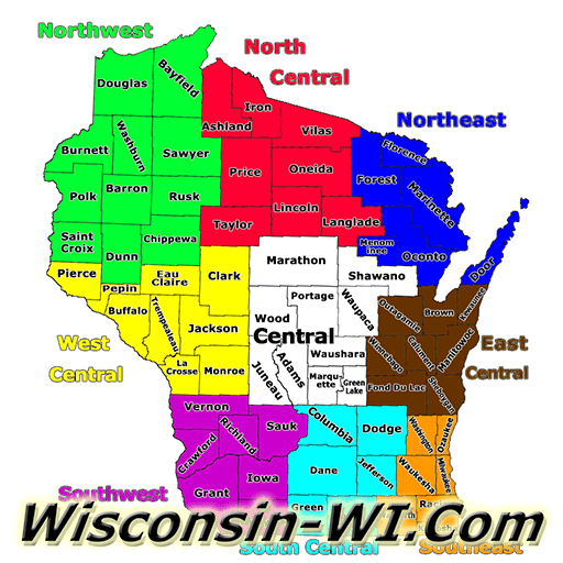
Wisconsin River Flowage System
Photos & Pictures


There are 9 beautiful and great fishing rivers that flow into that Wisconsin River making the fishing experience even better. Those are: Lemonweir, Tomahawk, Yellow, Rib, Baraboo, Eau Claire, Pine, Big Eau Pleine, and the Kickapoo River. Over the years, there has been many hydroelectric, logging, and reservoir dams created on the Wisconsin River creating opportunities for more natural electric energy sources for the state. These dams in turn have also created lakes throughout the state including: Lake Petenwell, Rainbow Lake, Spirit Lake, Willow Lake, Castle Rock Lake, and Big Eau Pleine. It’s amazing that one river could create so much historical landmarks.
Wisconsin River Journey
Wisconsin River Start to Finish: 430 mile journey from Northern Wisconsin all the way to the GREAT MISSISSIPPI River which seperates...
Types of Wisconsin River Fish
Interesting Facts About The Wisconsin River
- Size: 430 Miles Long
- Home to World Known Kayak Competition
- In 1830’s it was used to transport logs between sawmills.
- One of Wisconsin’s important natural resources
- Location: Northeast Wisconsin/Michigan border to the Mississippi River.
- Known to be hardest working river in country due to the log transportation and dams.
- Types of Fish in the Wisconsin River; Northern Pike, Largemouth Bass, Smallmouth Bass, Walleye, Drum, Carp, Channel Catfish, Sturgeon, Panfish, Crappie, Bluegill, Dog Fish, Musky, Strip Bass and more...
- Types of WI Wildlife that live by the Wisconsin River; Whitetail Deer, Wild Turkey, Black Bear, Bald Eagles, Golden Eagles, Herons, Cranes, Wolves, Coyotes, Squirrels, Red Fox, Fishers, Snakes, Turtles, Frogs, Clams, Osprey and more...
Wisconsin River Real Estate
Wisconsin River Waterfront Homes for Sale
Wisconsin River Watefront Lots & Land for Sale

 And then Add to Home Screen.
